i-cubed
i-cubed
201 Linden Street, 3rd Floor
Fort Collins, CO 80524
201 Linden Street, 3rd Floor
Fort Collins, CO 80524
Toll Free Number: (800) 472-8328
Phone Number: (970) 482-4400
Fax Number: (970) 482-4499
Web Address: www.i3.com
Phone Number: (970) 482-4400
Fax Number: (970) 482-4499
Web Address: www.i3.com
Category: Satellite Comms Services Common Carrier
"We map the world"
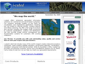
i-cubed offers enterprise geospatial information solutions for commercial and government customers. Our solutions leverage imagery of the Earth for visualization and engineering applications including, but not limited to internet portals, wireless telecom and military planning. We offer a full range of products and services including the imagery itself, processing to customer specifications, analysis and distribution. We also provide image archive management and dissemination systems for customers with existing collections.
i-cubed offers enterprise geospatial information solutions for commercial and government customers. Our solutions leverage imagery of the Earth for visualization and engineering applications including, but not limited to internet portals, wireless telecom and military planning. We offer a full range of products and services including the imagery itself, processing to customer specifications, analysis and distribution. We also provide image archive management and dissemination systems for customers with existing collections.
Customer Reviews for i-cubed
Be the first to review i-cubed - Use the thumbs to get started!
i-cubed has not yet completed their interview.
- ©2025 FortCollinsBusinessList.com
- Privacy Policy
- FAQ
- Contact
This site has been visited 4,716 times

